Location
A ridge of forest above the Pacific
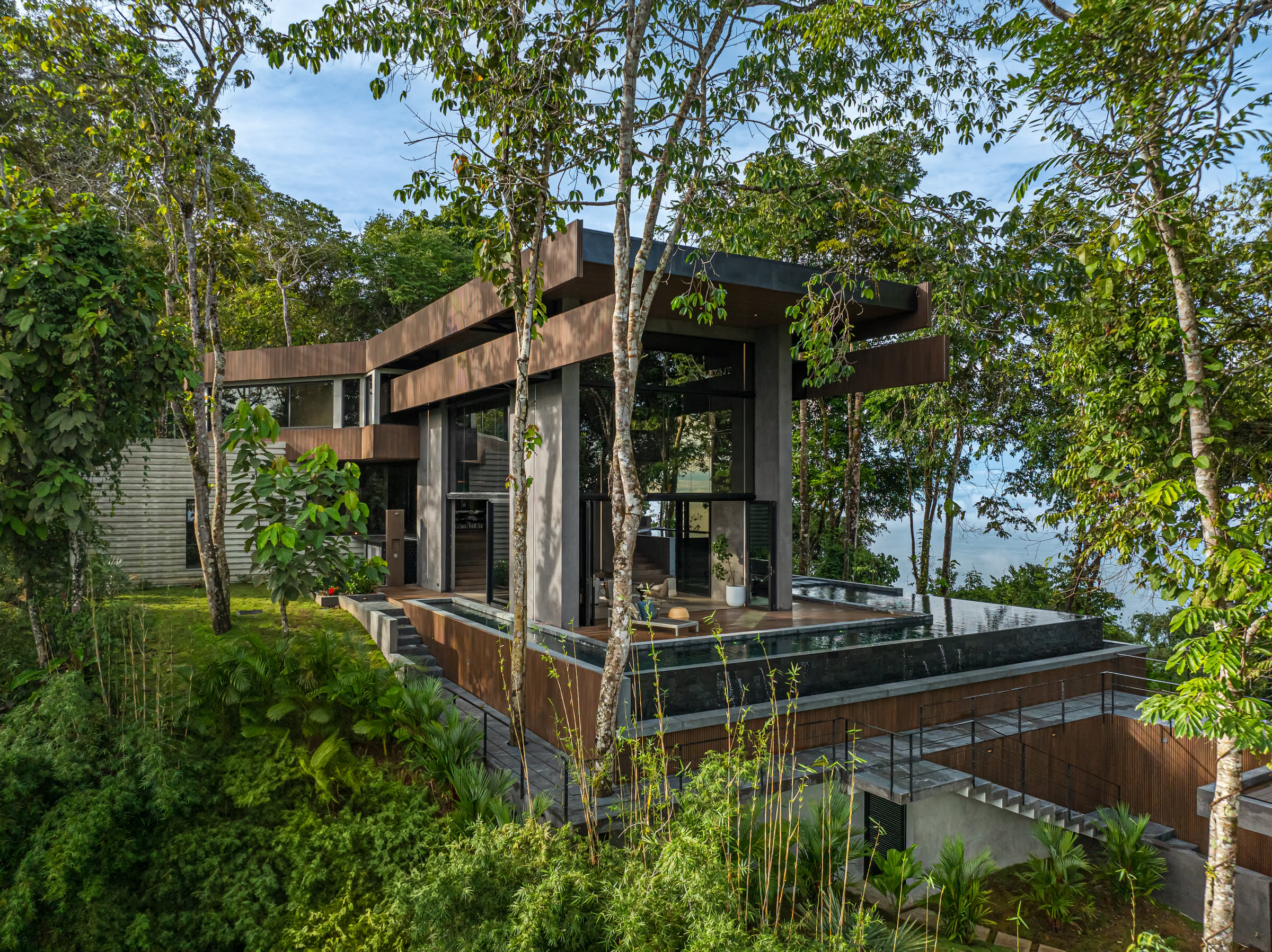
Escaleras — 'stairs' — is the run of steep forested steps that climbs from the coast between Dominical and Uvita. The residence sits roughly 500 metres above sea level, in low-density forest, about twenty minutes from the beach.
The setting
Low density, high canopy
The hills around Escaleras remain largely forested, with occasional houses set well apart and screened by vegetation. The approach from the Costanera Sur highway climbs steadily into denser growth — the architecture frames the horizon gradually rather than presenting it at the gate. A local neighbours' association, formed in 2023, maintains the ridge roads.
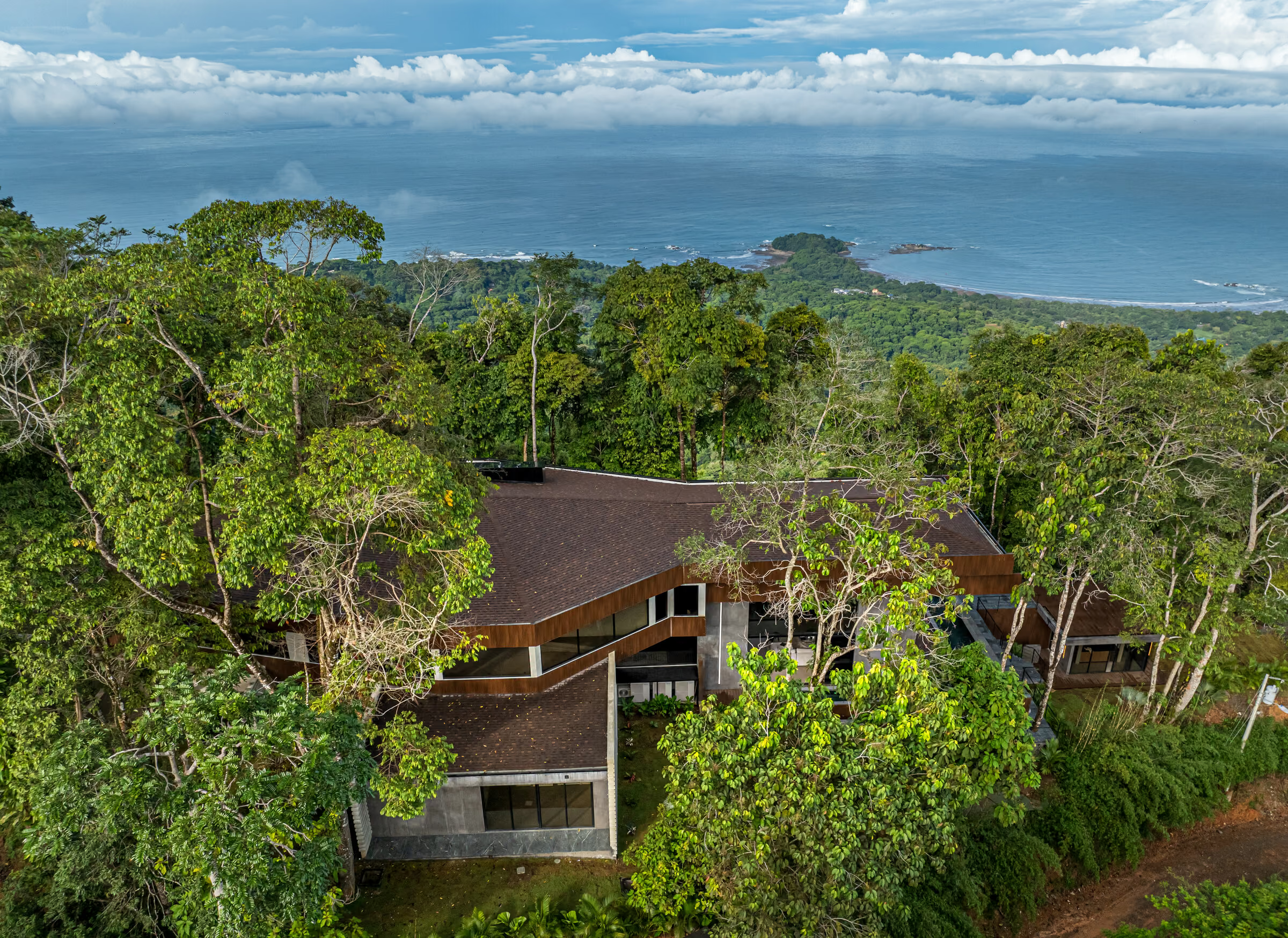
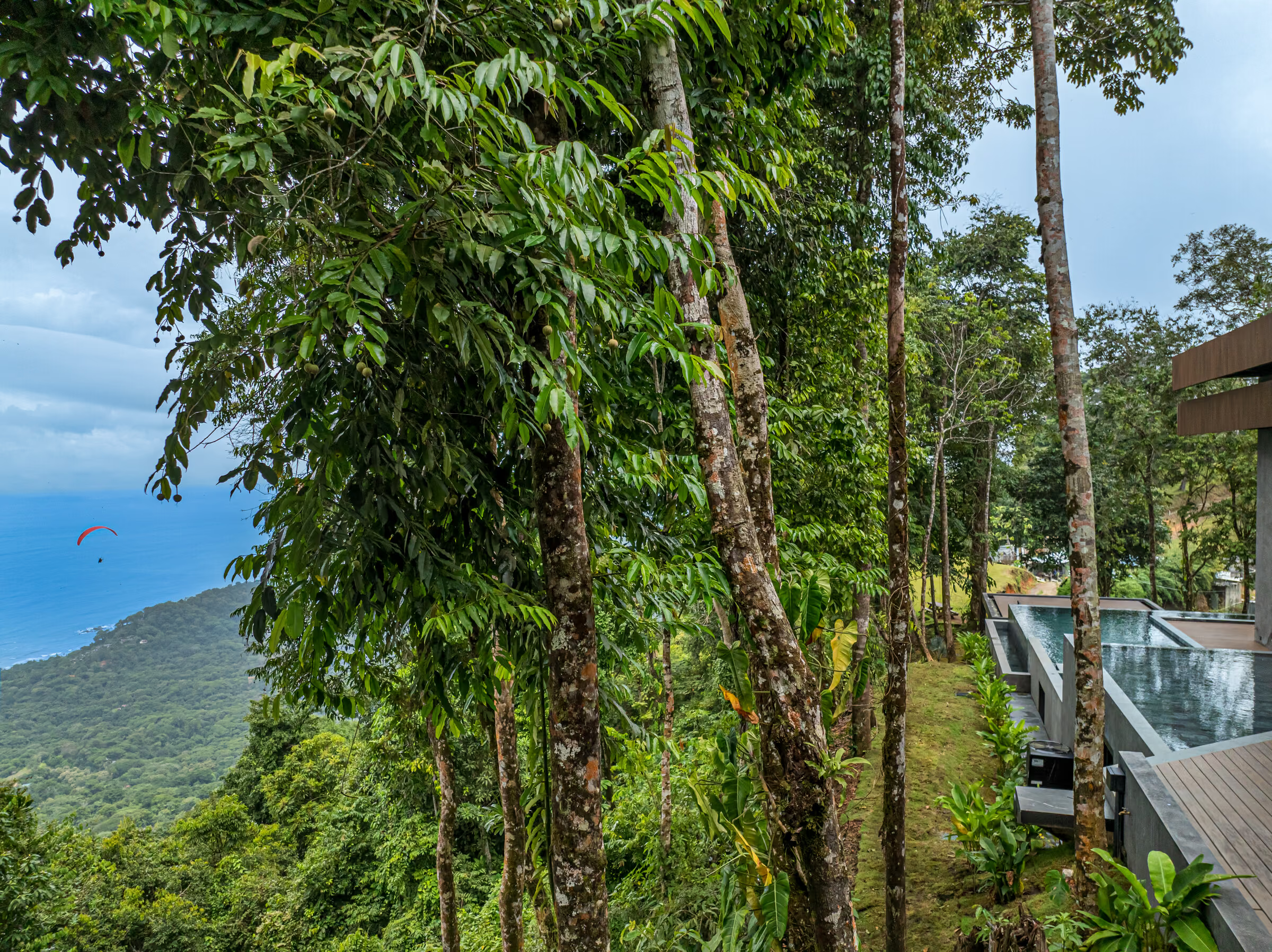

Costa Rica's South Pacific holds roughly a quarter of its land in protection.
Illustrative artwork — an artistic impression of the regional landscape, not a photograph of the property.
Nearby
What is actually within reach
- Dominical
- The northern anchor of the Costa Ballena and a long-standing surf town. Playa Dominical is known for consistent year-round waves; the village itself stays small, walkable and unpolished.
- Uvita & Marino Ballena
- Marino Ballena National Park was declared in 1992 — the first marine park in Central America — protecting 5,160 hectares of ocean and a 15 km stretch of coast. At low tide the sand-and-rock tombolo known as the Whale’s Tail emerges off Playa Uvita.
- Whale watching
- Two humpback migrations reach this coast: the northern population from December to April, the southern from July to November. It is one of the longest humpback seasons anywhere.
- Nauyaca Waterfalls
- Two falls on the Barucito river — an upper drop of about 45 m and a lower stepped fall of about 20 m — roughly 10–12 km inland from Playa Dominical.
- Ojochal
- Twenty minutes south of Uvita, Ojochal has become the recognised culinary centre of the South Pacific, a product of its unusually international resident community.
- Beaches
- Dominicalito and Playa Uvita for calm swimming; Playa Hermosa for tide pools; Playa Ventanas for the sea caves at its northern end, walkable at low tide.
Access
Getting there
Route 34, the Costanera Sur, runs along the coast below the property and is the practical approach from San José. Every figure below is approximate and measured from the Dominical area rather than from the gate.
- Playa DominicalA 20-minute drive
- Uvita & Marino Ballena N.P.A 35-minute drive
- Nauyaca WaterfallsA 30-minute drive
- Quepos / La Managua (XQP)A 1-hour drive
- San Isidro de El General (IPZ)A 1¼-hour drive
- Palmar Sur (PMZ)A 1¼-hour drive
- San José International (SJO)A 3½-hour drive
Sources
- Published Dominical distance table — tropicalsandsdominical.com/distances (accessed 22 Aug 2026)
- Nauyaca Waterfalls, official operator — nauyacawaterfallscostarica.com (accessed 22 Aug 2026)
- Marino Ballena National Park — SINAC, Área de Conservación Osa
- Playa Dominical drive time — Alianz project portfolio, 2025
On the map
The precise location and coordinates are shared with qualified buyers on enquiry. The property sits on the Escaleras ridge between Dominical and Uvita, in Puntarenas Province.
Request the location detailsClimate
Two seasons, and a long whale season across both
On Costa Rica's Pacific side the dry season runs December to March, with April a transition month; the green season runs May to October, with November transitional. July and August bring a drier spell locally called veranillo. September and October are the wettest months — and also the heart of the southern humpback migration.
Source: Instituto Costarricense de Turismo (visitcostarica.com), climate guidance for the Pacific region.
Enquiries
See it for yourself
Escaleras is best understood on the ground. Vida Realty arranges private viewings, and can coordinate the drive from San José or Quepos.
Presented by Vida Realty Costa Rica · +506 8825-0434